A Ramble For Robin
Introduction
Recently I've been thinking how I could repay you for the fantastic clay pigeon shooting trip we went on all those months ago. Whilst this is but a small step in that direction, I hope it brings you some joy in these tough times.
If, like myself, you are feeling somewhat boxed in by the Coronavirus lock-down and have a burning desire to get out into the countryside; this should give you some inspiration to explore the beautiful trails nestled on our doorstep.
The below guide outlines a gorgeous walking route I've been building up over the last few months through various scouting runs around the local area. It manages to avoid most roads, sticking to 10 kilometers of wooded trails instead, whilst giving you some excellent views of the countryside surrounding Shirehampton.
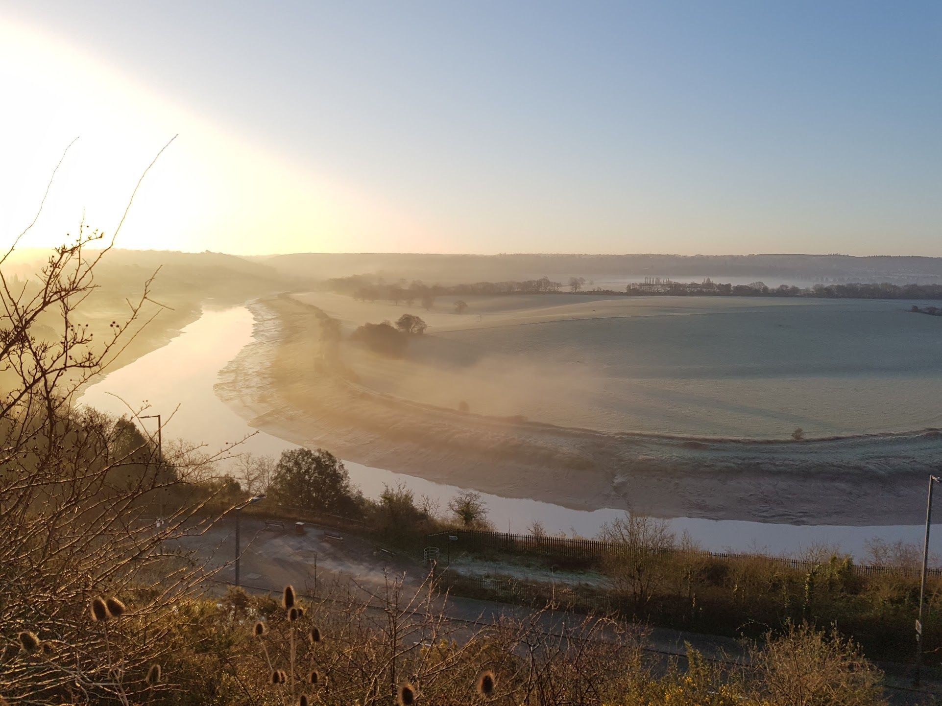
Map
An interactive overview of the route itself
Instructions
The route starts and ends on Park Road, just East of Shirehampton high street.
It is 10 kilometers long, will take roughly 2 hours and can be muddy after rain.
Stage 1: Shirehampton Golf Course
Starting on Park Road, there is a ramp running East that leads to Shirehampton Golf Course. Go through the gate and follow the trail up the hill eastwards, keeping the open green on your left.
The trail leads uphill through two short patches of woodland before emerging to a flat open section with a fence on your right. Once you have crested the hill take a moment to appreciate the best view of the River Avon for miles to your right.
Follow the trail East to a gravel track that takes you back downhill to a gate on your right leading to the Portway. Continue on the golf course over the hill keeping the treeline to your right, until you reach a gate to Sylvan Way. Go through the gate and turn right, leading downhill to the junction on the Portway.
Stage 2: River Trym
Cross the Portway to the southern side and enter the Shirehampton Park woodlands through a gate on the other side of the junction, just west of the traffic lights, that leads downhill into the woods.
Follow the trail down and to the left moving east until you come out to the marshes along the Avon. Follow this until you reach the mouth of the River Trym next to the railway bridge at Sea Mills Station. Go under the railway bridge onto the green that follows the Trym North.
Follow the green with the River Trym to your right until you reach the small road bridge cross the river half way onto the green. Cross the bridge then go up the steps onto the green on the other side, so the river is now on your left and you are still walking North.
Follow this trail until it takes you back up to Shirehampton Road with The Millhouse pub just in front of you. Cross the road and go round the right of The Millhouse onto Bell Barn Road, immediately turning left back onto the wooded trail just behind the pub.
Follow the trail as it snakes along the river until it crosses it onto a small green where the trail forks. One way goes left up the hill, one goes right and continues following the river under a road bridge. Follow the river right, under the bridge, and continue on it.
Stage 3: Coombe Dingle
The trail will lead to The Dingle road. Cross it and enter the Coombe Dingle Car Park to the right.
Go through the car park North and join the well paved trail on the other side. Follow the path through the woodland, sticking to the paved part, as it goes northwards until you reach the old Stratford Mill and bridge over the stream.
Go over the bridge and join the path that runs up the hill to the left of the Mill.
When you get to the top of the hill, bear left into Blaise Castle Estate.
Stage 4: Blaise Castle Estate
Continue following the paved trail as it goes up the hill towards the Blaise Museum. Turn left onto the path that leads towards the park & cafe and follow that to the car park.
Go over the car park and, on the western side, join the path running parallel to King Weston Road. Follow the path West, keeping the stone wall to your right. When you reach a house bear left through the trees to go around the house, then continue West until you get to Blaise Plant Nursery.
When you reach the Nursery, turn left and go up the hill away from King Weston Road, towards the woodlands. At the top of the hill is a trail leading back West through the woods.
Take the trail and go West through the woods. It will veer northwards until it returns to King Weston Road.
Stage 5: King Weston
Walk West along King Weston Road, keeping the road to your left, until you reach a fork with a small house to your right that leads straight on along Napier Miles Road to King Weston School.
Follow the smaller road going straight on. Just after the house at the start of Napier Miles Road on the right is a small trail that takes you parallel to the road along a field. Go down this trail and follow it, keeping the road to your left. It will lead you out just before the school back onto the same road.
From here continue west until you hit King Weston Lane.
Cross the lane and go through the large stone gates into King Weston Estate.
Keep the house to your left and walk through the small car park then follow the trail as it leads away from the house up the hill into the woodland.
Continue on the trail southwest until it leads you to the car park. Cross it and you will reach Shirehampton Road.
Go down Shirehampton Road to the west, down the hill until you see the entrance to Shirehampton Golf Club.
Go into the club and follow the road round to the right, here there's a hidden footpath down leading directly south.
When the footpath comes out of the woods, the entrance you originally came through at the start of the walk will be directly in front of you.
Go through the gate to rejoin Park Road & end the walk.