Wild Local Rambles for the Muchas
A list of local adventure ideas Zoe & Ellie can enjoy over lockdown.
Bath Skyline
Distance: 9.15km
Time to walk: 1.5 to 2 hours
Buggy or Sling: Sling
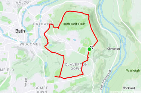
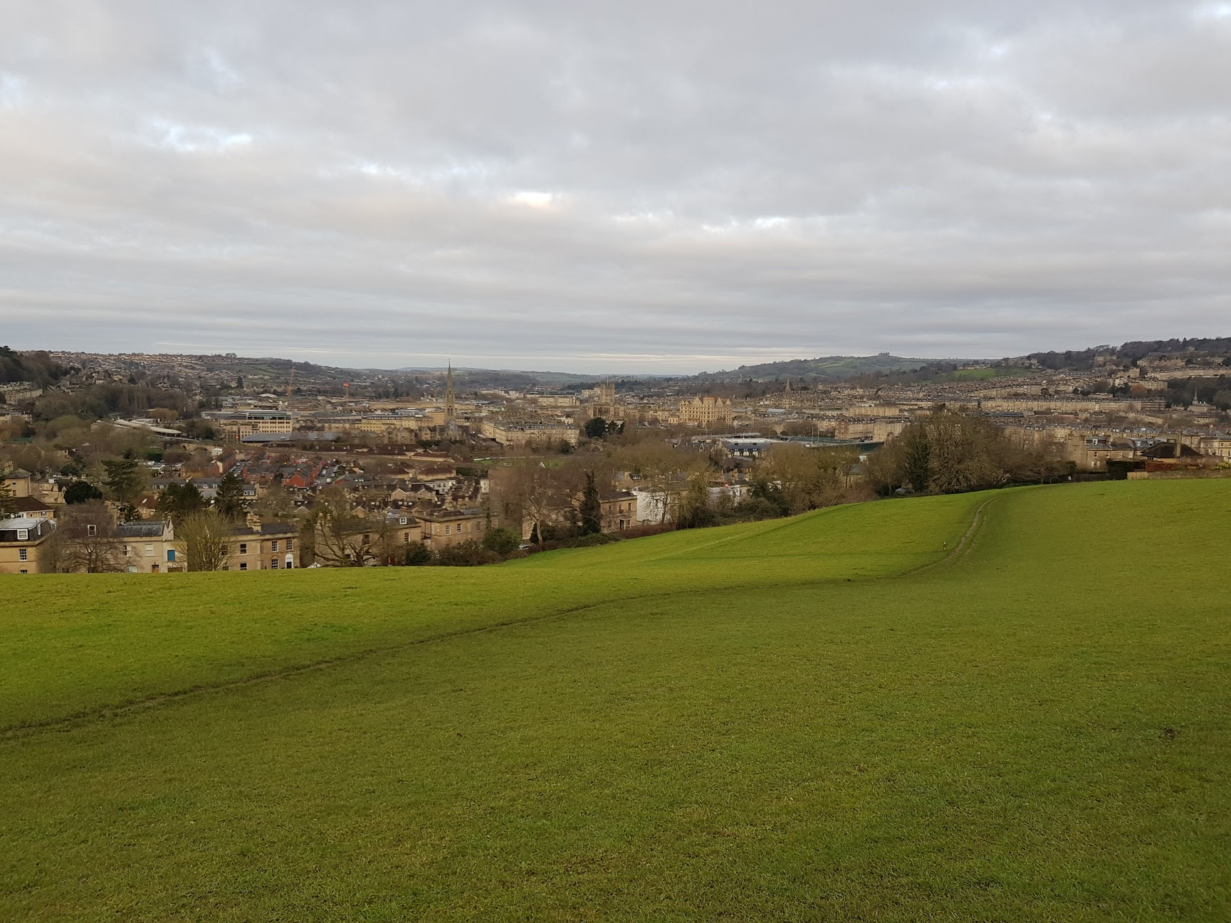
Starts at the Bath University car park, then takes you across the commons of Bath & through local woodlands. About 2/3s in takes you closer to town, ideal for a detour to the shops for a break.
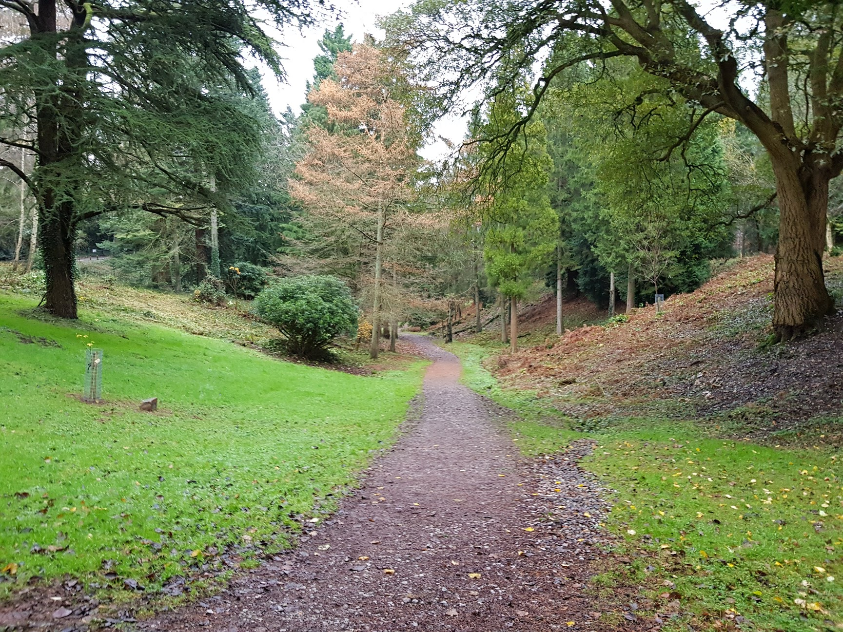
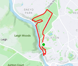
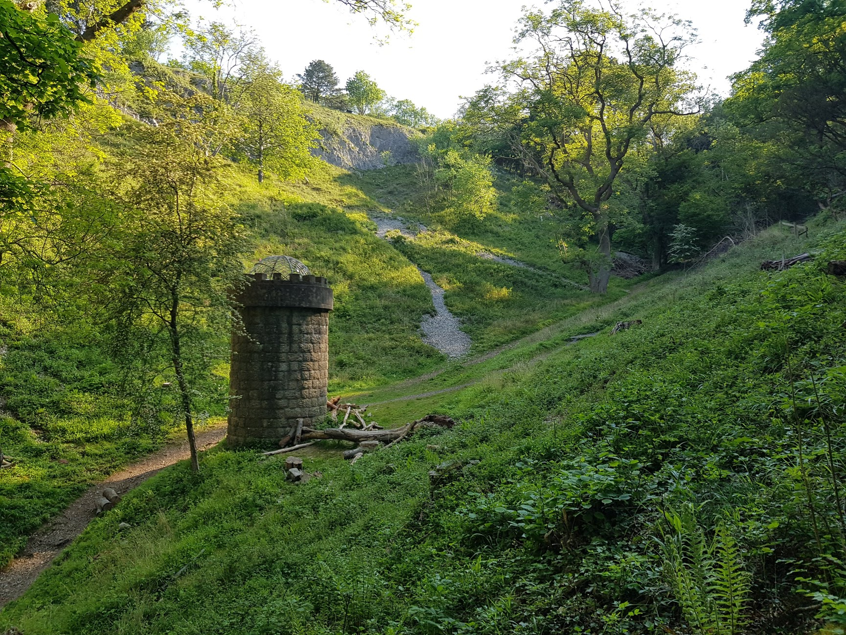
Leigh Woods Circular
Distance: 11.5km
Time to walk: 2 to 2.5 hours
Buggy or Sling: Sling
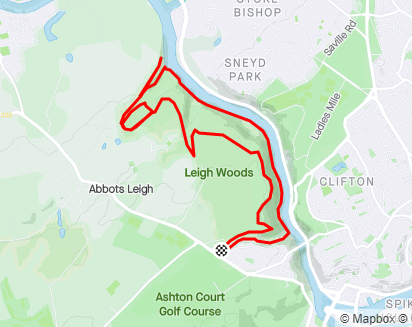
Visits three key areas in Leigh Woods:
- Clifton Suspension Bridge Viewpoint
- Paradise Bottom
- The Grotto Viewpoint
Before following the river back to Nightingale Valley for a climb to the car park
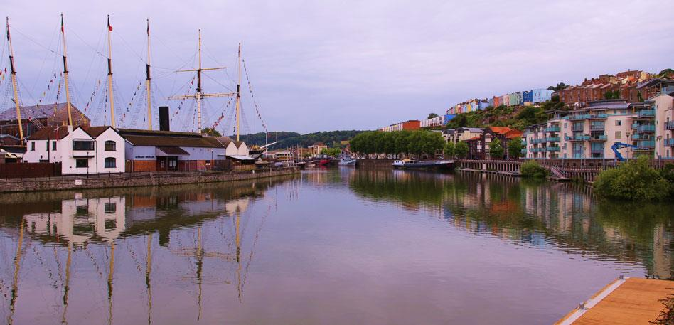
Spike Island
Distance: 6km
Time to walk: 1 to 1.5 hours
Buggy or Sling: Buggy
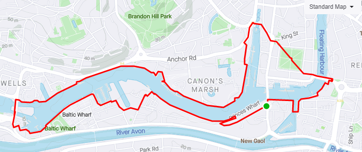
Starts at the Wapping Warf car park, the goes west along Spike Island.
Takes you along the beautiful harbourside, through the ship yards, then along the promenade of Canon's Marsh. At the end crosses the center and Queens Park before a short hop past St Mary Redcliffe
Avon Gully
Distance: 7km
Time to walk: 1.5 to 2 hours
Buggy or Sling: Sling
Parking on the Promenade near the Suspension Bridge, takes you up to Clifton Observatory, before following the zig zag path down to the Portway.
Follows a walk along the Portway to the Avon Gully, then following the goat path (you may see wild goats!) back up to the Downs.
The climb ends at the Downs viewpoint over the Avon, before following Ladies Mile back to the car.
Portishead Marina
Distance: 8km
Time to walk: 1.5 to 2 hours
Buggy or Sling: Sling
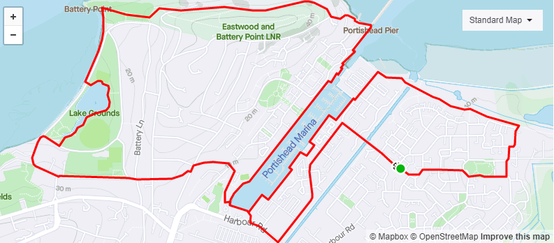
Parking on Phoenix Way (normally spaces free, lots of parking in the surrounding estate), walks along the River Severn before hitting the Portishead Marina. Walk goes over the hill through a wooded road to the Lake, then back round to the harbourside.
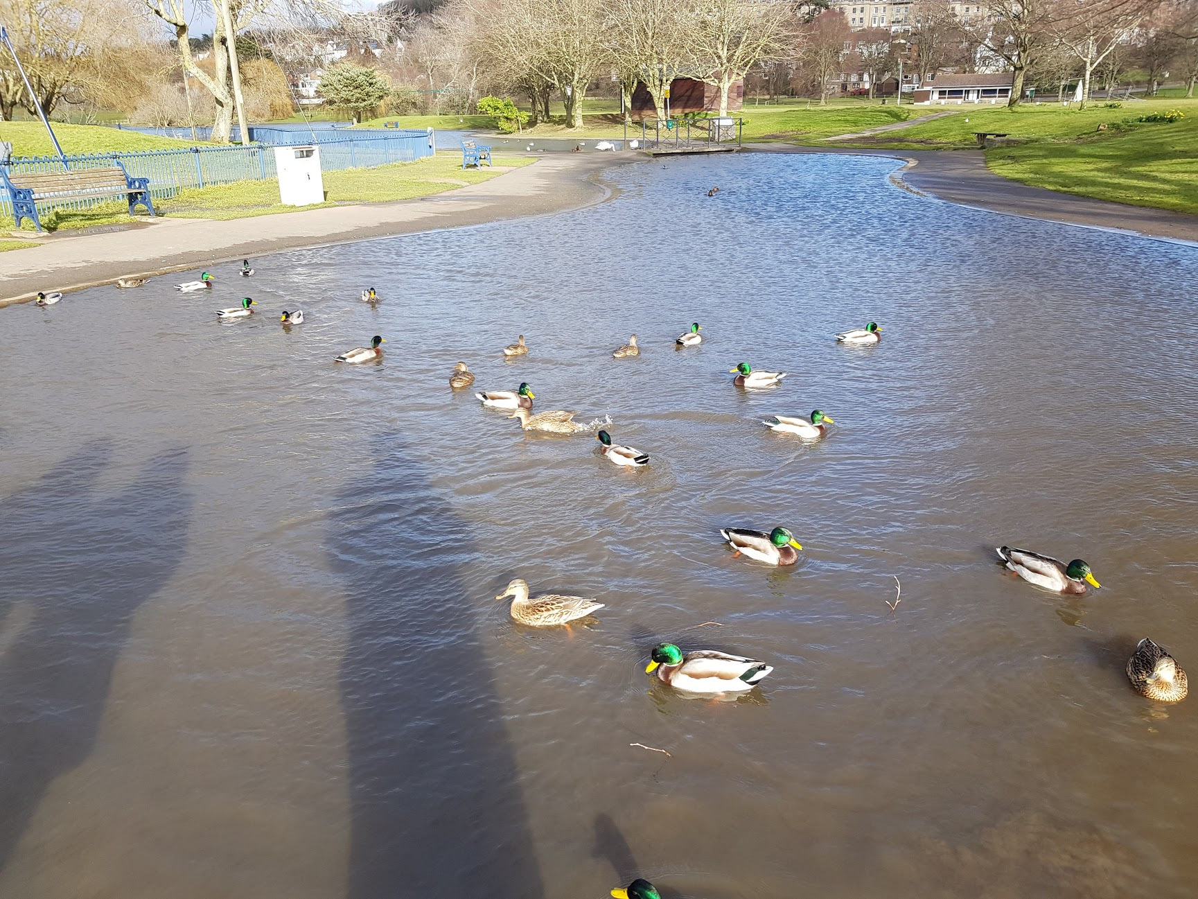
Snuff Mills
Distance: 4km
Time to walk: 1 to 1.5 hours
Buggy or Sling: Buggy
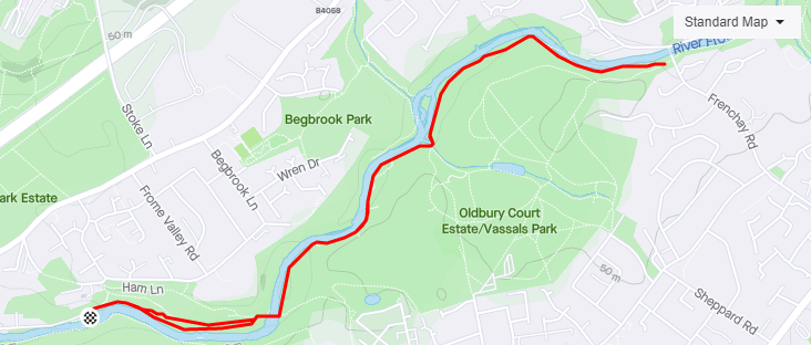
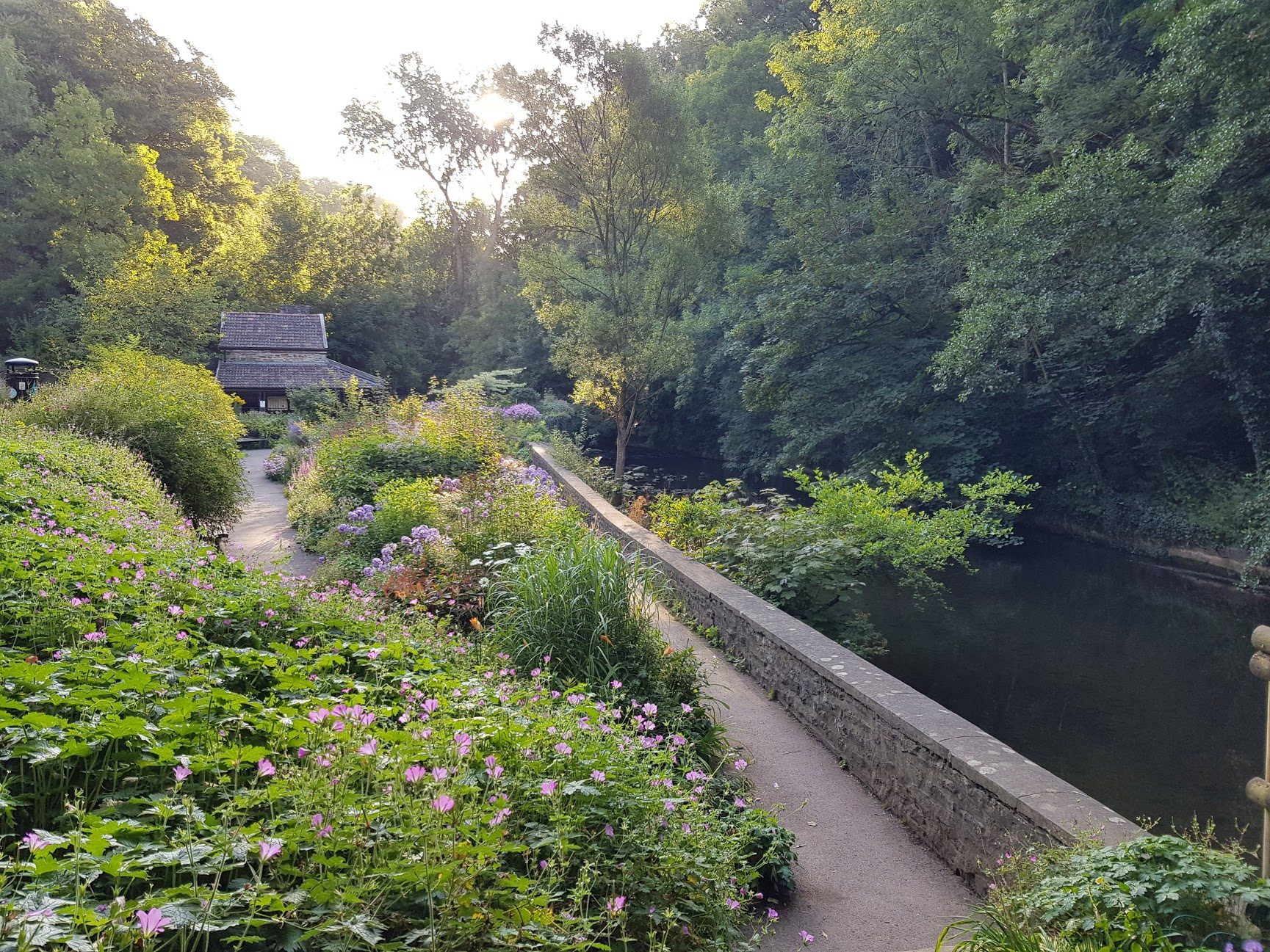
Parking at the Snuff Mills car park, this out and back takes you along the River Frome through gorgeous kept parks and woodlands.
Mostly buggy friendly, thought gets rooty towards the end so you may need to turn back.
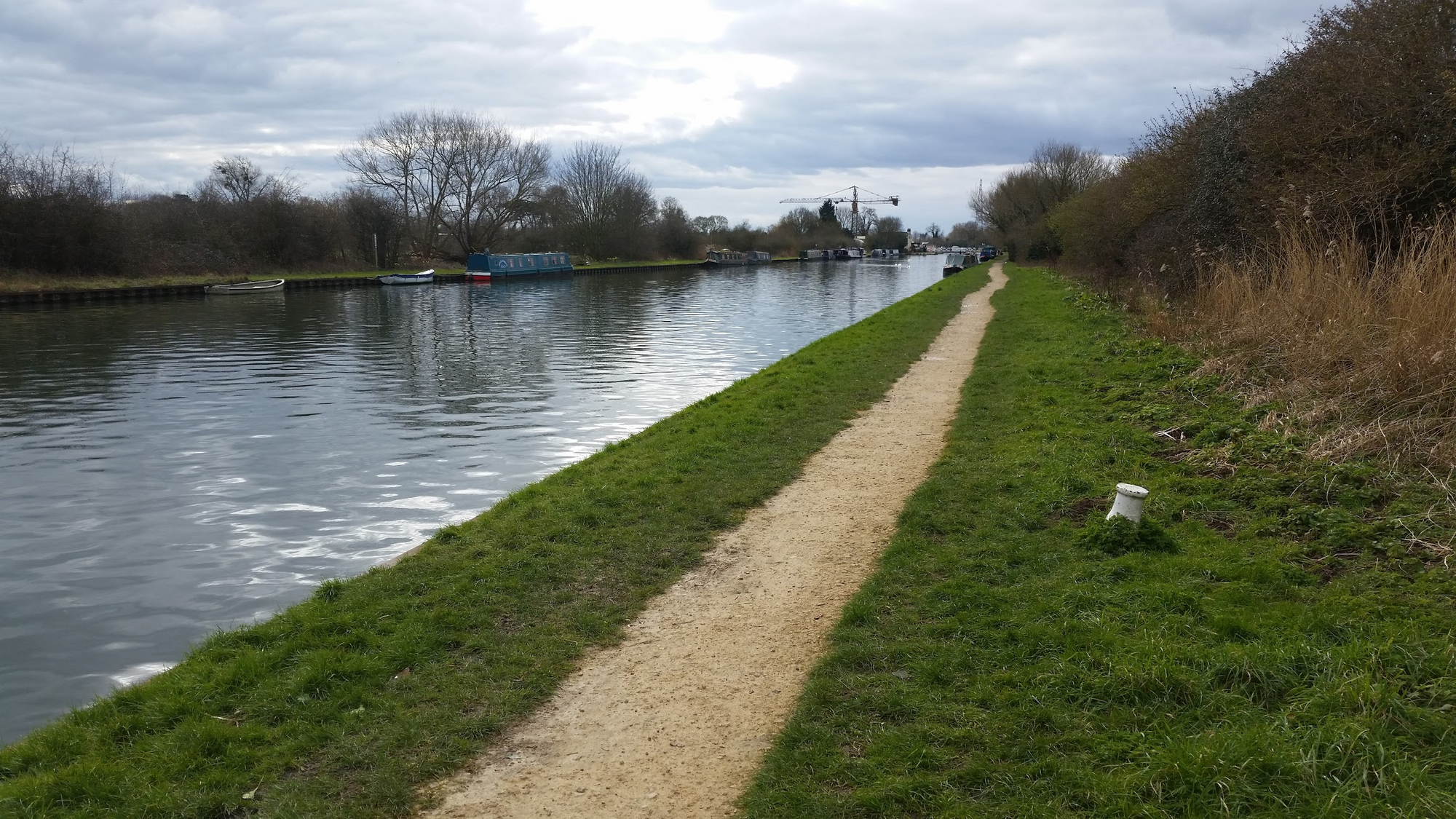
Purton Canals
Distance: 7km
Time to walk: 1.5 to 2 hours
Buggy or Sling: Sling
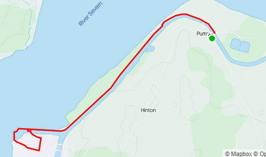
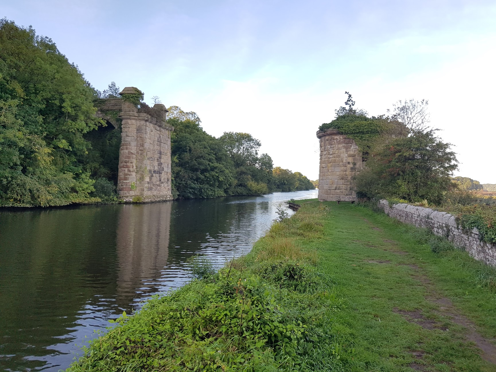
Park either in the car park next to the lock, or along the road south east. You can then take a walk along the gorgeous Gloucestershire canals, flanked by the River Severn. Ends with a view over the river and a small lake.
You can do it with a buggy, however it is rough canal paths so may be too bumpy
Saul Junction
Distance: 3km
Time to walk: 0.5 to 1 hours
Buggy or Sling: Sling
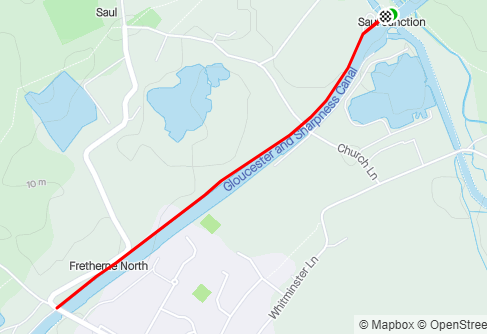
This is where we use to go kayaking as kids. Park at Saul Junction car park, then you have your choice of canal paths in 4 directions. It is a beautiful set of canals and you can walk as far as you want in any direction. There is also a cafe to get a snack.